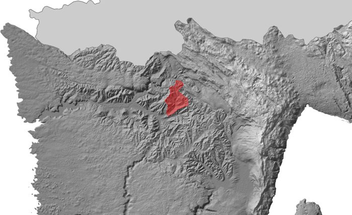
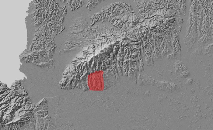
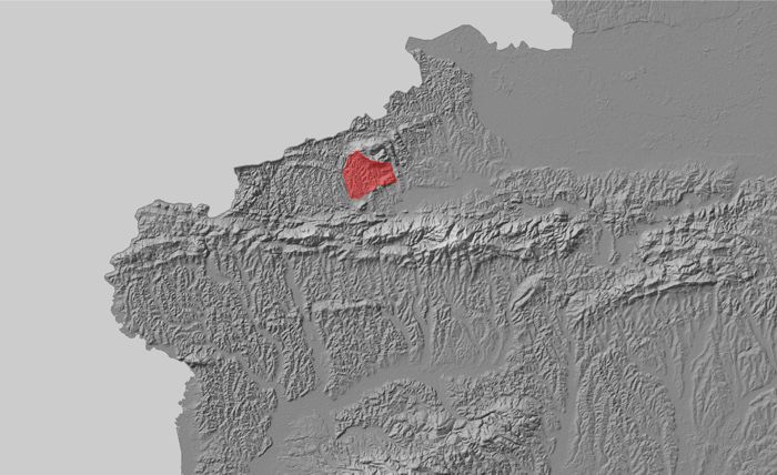
Boundaries of three pilot areas defined
Three pilot areas, representative for areas Podsljemenska zone of the City of Zagreb, Hrvatsko Zagorje and Istria, were selected as characteristic environments in the Republic of Croatia for the implementation of scientific research within the LandSlidePlan project. In these areas, scientific research will be carried out based on the methodology of making susceptibility maps on a large scale for application at the local level.
Within the project, laser airborne scanning will be conducted for all three pilot areas of 20 km2 each, with the purpose of creating a digital elevation model (DEM) for creating landslide inventory maps with visual identification of landslides (Bernat Gazibara et al. 2019). The derived landslide inventories and morphometric parameters from the DEM will serve as input data for landslide susceptibility maps.


