Airborne laser scanning of three pilot areas
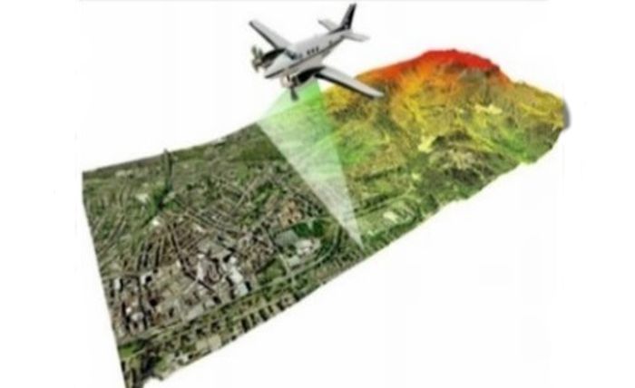
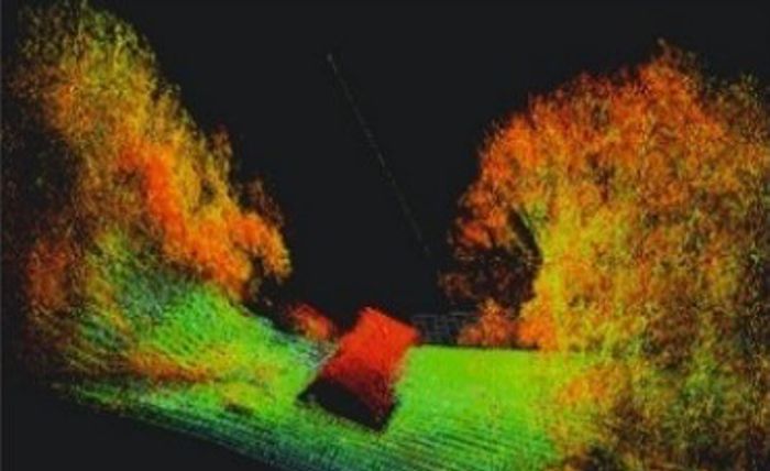
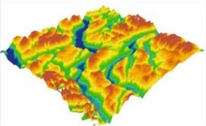
Laser airborne scanning of three pilot areas of the LandSlidePlan project, funded by the Croatian Science Foundation, has been successfully completed. 20 km2 of the Podsljemenska zone in Zagreb, 20 km2 of the City of Buzet and 20 km2 of the City of Lepoglava and the Bednja Municipality were scanned.
This provides basic data for processing and analysis in order to create several types of input data for the development of a methodology for the susceptibility maps for the three characteristic environments in which landslides occur in the Republic of Croatia.


