2nd research meeting
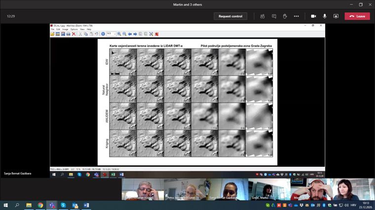
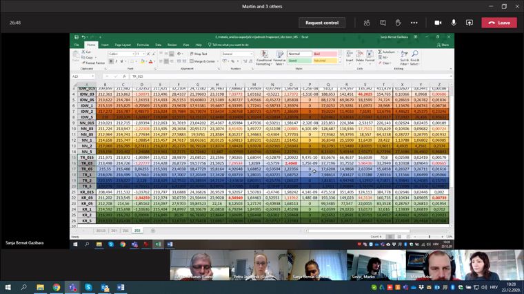
On the 2nd research meeting quantitative results of preliminary morphometric analysis of landslide footprints on 216 DTMs made for three pilot areas were presented. The DTMs were derived using data obtained by airborne laser scanning for three pilot areas, funded by the Croatian Science Foundation. Input data (selection of morphometric parameters for different DTMs), methods of statistical analyses and expected results of the analyses were confirmed. Based on the preliminary results of the morphometric analyses, all project members were informed with the criteria of choosing the most optimal DTM for visual identification of landslides for all three pilot areas.
It was agreed that in the 2nd year of the project a landslide inventory creating would begin for the pilot areas in the Podsljeme zone in the City of Zagreb, the City of Lepoglava and the Bednja Municipality. Morphometric maps used for visual identification and landslide mapping will be derived from the most optimal DTM of each pilot area.
It was confirmed that the collected data from the morphometric analyses will be published in a scientific journal Q1/Q2 and that activities on the creating the paper will follow.


