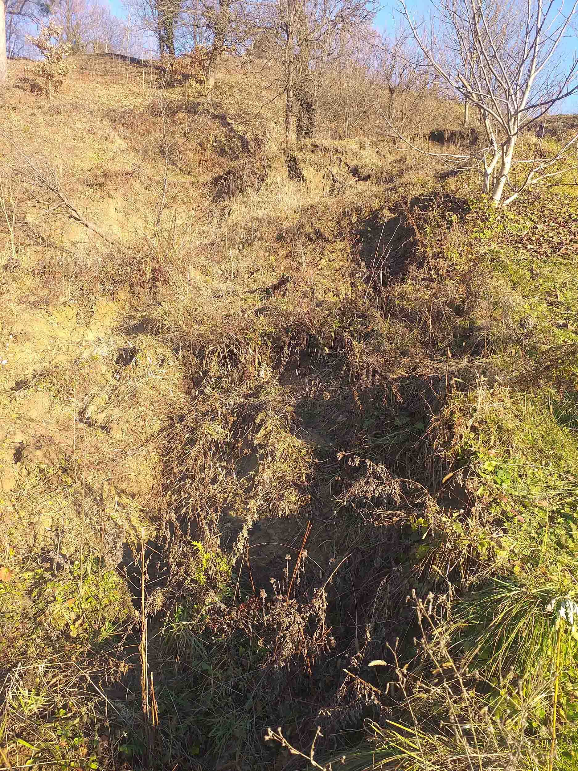
Landslide inventory at the pilot area in Hrvatsko zagorje completed
In the pilot area of the City of Lepoglava and the Bednja Municipality, a field research was completed to verify the landslide inventory map. The landslide inventory map represents important input data for landslide susceptibility assessment, which is the next step in the research activities within the Croatian Science Foundation LandSlidePlan project.
At the end of November 2021, the verification of the landslide inventory map began. The landslides were delineated on the basis of remote sensing with LiDAR technology, about what you can read more in this post.
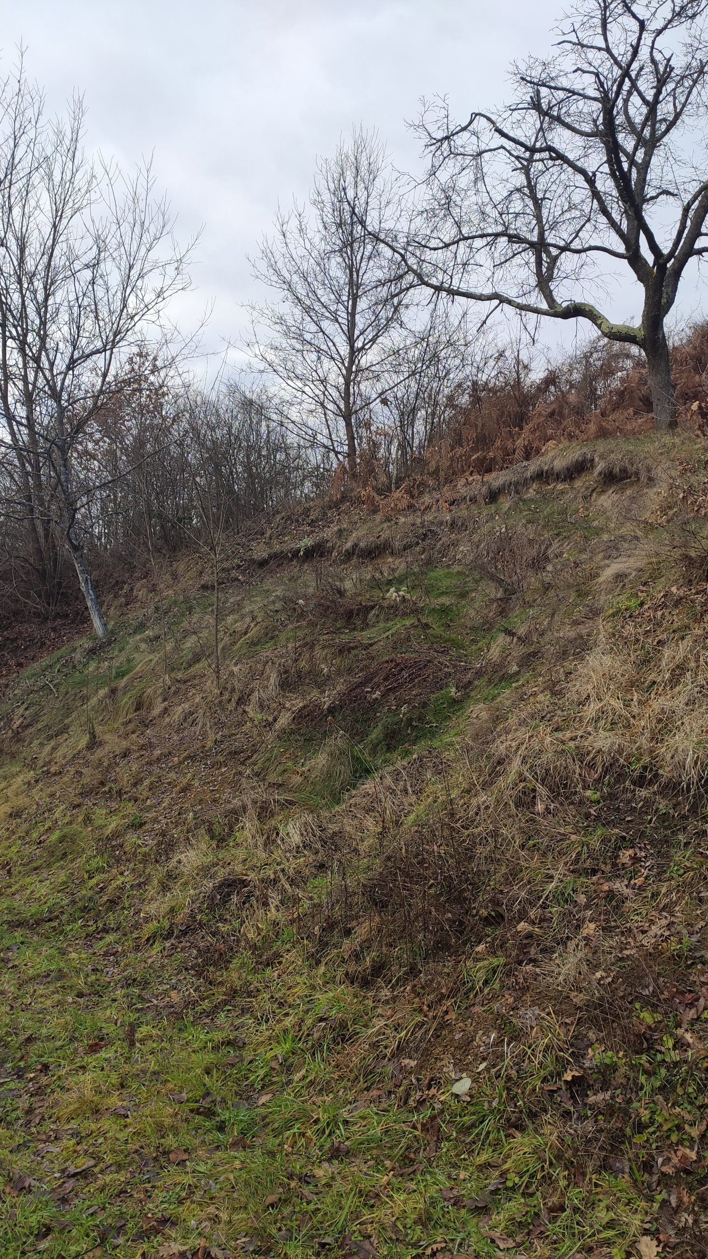
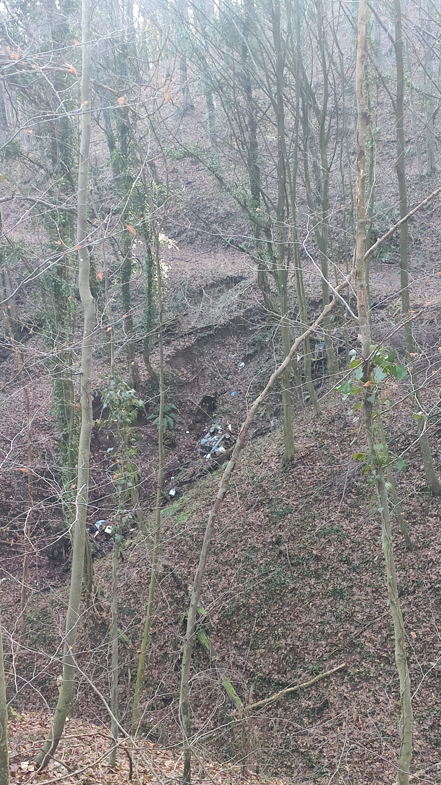
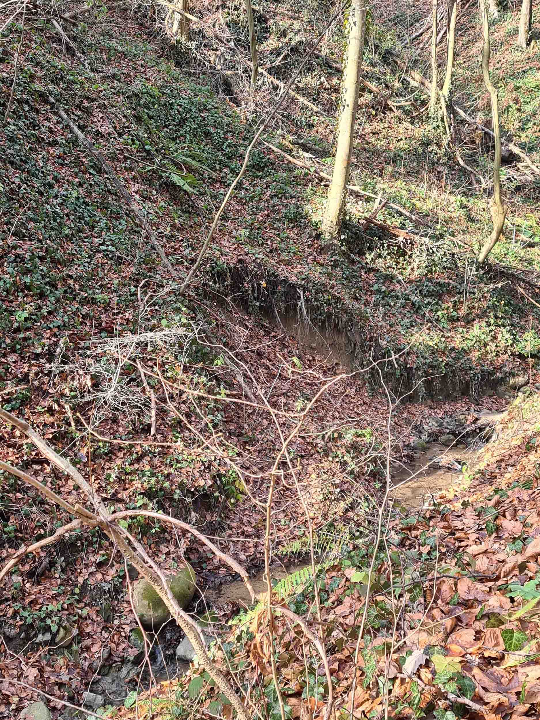
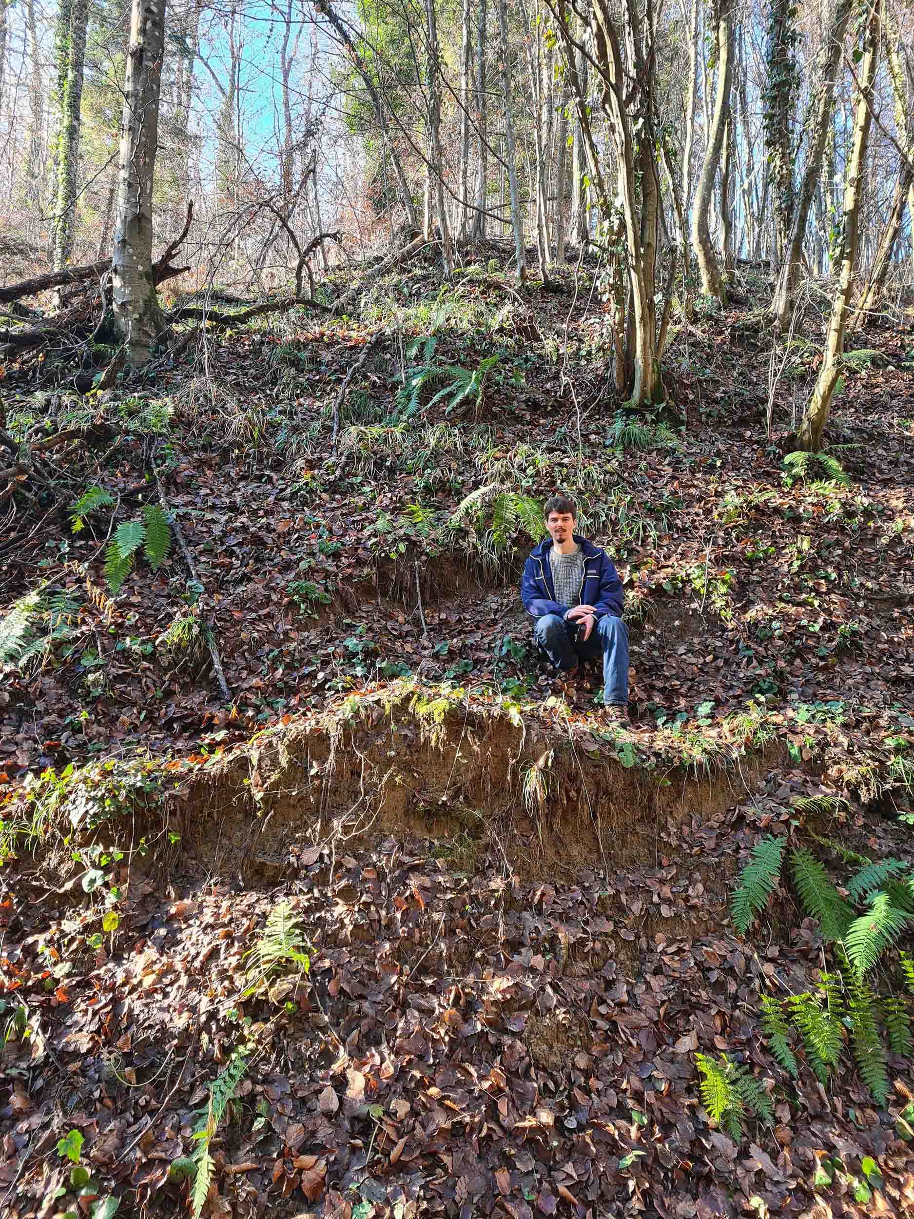
Field survey of landslides was done on about 220 randomly selected visually mapped landslides in the inventory of a total of 912 landslides, which is 25% of landslides in the pilot area of 20 km2. A total of four collaborators on the Croatian Science Foundation project LandSlidePlan, scientists involved in landslide research, participated in the field research including a doctoral student on the Croatian Science Foundation Junior Researchers’ career development project.


