Landslide inventory verification continued at the pilot area in the City of Buzet
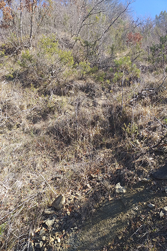
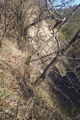
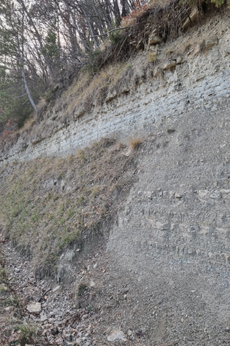
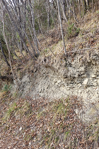
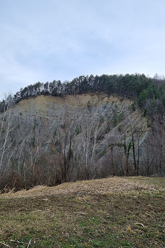
In the pilot area in the City of Buzet, field research was continued in order to check the landslide inventory map. This landslide map is an important input for the assessment of landslide susceptibility, which represents the next research activity within the Croatian Science Foundation – LandSlidePlan project.
The verification of the landslide inventory map, made on the basis of remote sensing using LiDAR technology, began in late October 2021 and then continued during January 2022, which you can read more about in this post.
In addition to the field verification of landslides, the phenomena of erosion, mapped within this project were also checked. Previous field and cabinet research have shown that the number and frequency of landslides in areas affected by erosion are significantly higher, which is in line with previous scientific research conducted by our researcher Assistant Professor Petra Jagodnik as part of her doctoral research. Although the phenomena of erosion in the area of Vinodol Valley and Istria are different, it is common for both areas that the phenomena of erosion are a factor that contributes to the occurrence of landslides. A total of seven collaborators on the Croatian Science Foundation LandSlidePlan project, scientists involved in landslide research, including a doctoral student on the Croatian Science Foundation’s career development project DOK-2020-01-2432, participated in the field survey.


