Landslide inventory verification continued at the pilot area in the City of Buzet
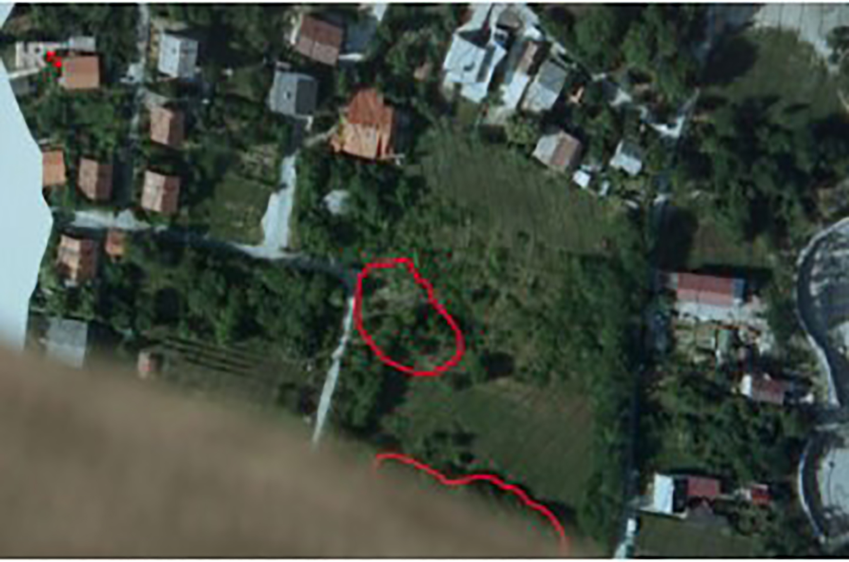
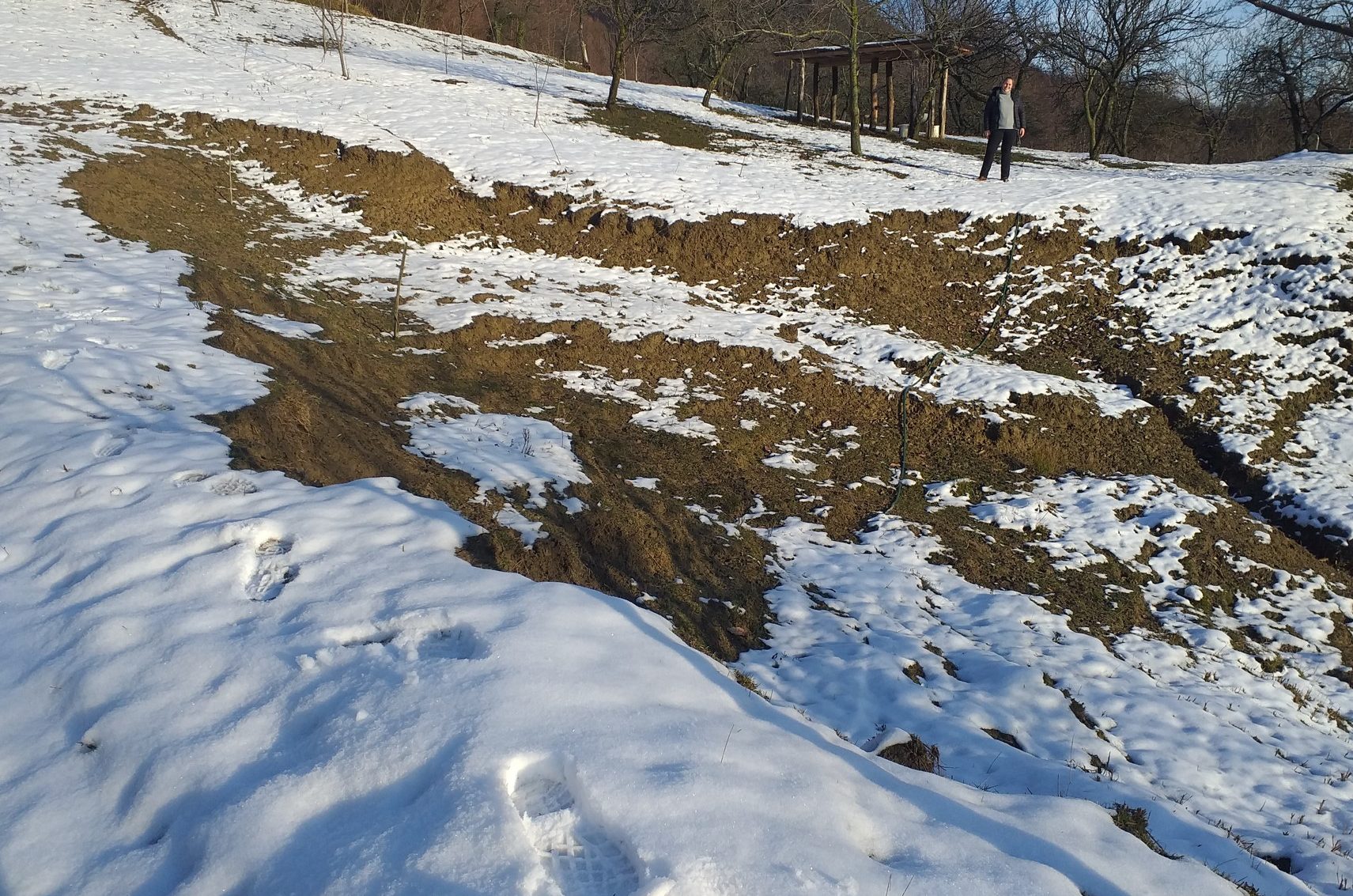
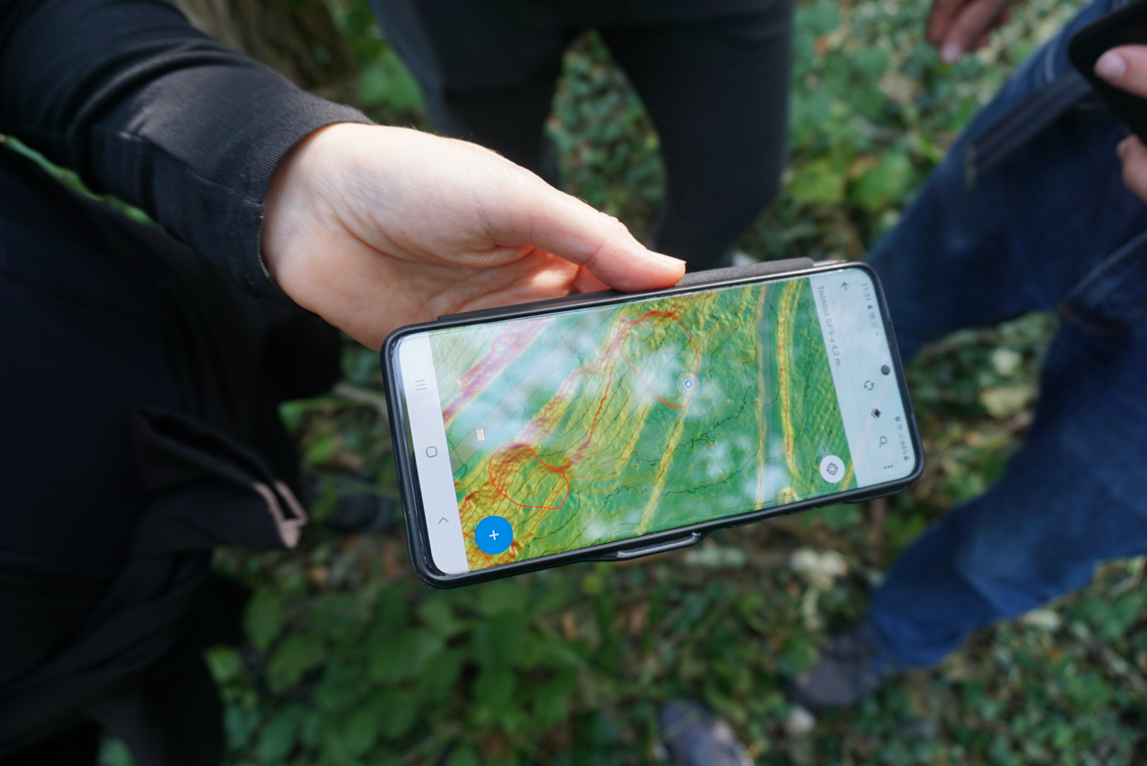
In the pilot area in the City of Buzet, field research was continued in order to check the landslide inventory map. Field survey of landslides included verification of detailed mapped erosion phenomena.
LandSlidePlan project in the Prometej HRT show
The BIG BANG show Promej (HRT) on the topic of landslides talks about the Croatian Science Foundation LandSlidePlan project and about landslide maps that will be developed by landslide risk management researchers.
Landslide inventory at the pilot area in Hrvatsko zagorje completed
In the pilot area of the City of Lepoglava and the Bednja Municipality, a field research was completed to verify the landslide inventory map. About 25% of landslides mapped in detail were verified.
Landslide inventory verification in the pilot area Hrvatsko zagorje
In the pilot area in the City of Lepoglava and the Municipality of Bednja, field research was done in order to verify the landslide inventory map in an area of 20 square kilometres. 5% of detailed mapped landslides were verified.
Croatian Science Foundation PhD fellow Marko Sinčić gave an introductory lecture at a round table
At the 5th round table of the PRI-MJER project, Junior Researcher - Assistant Marko Sinčić, MSc. held an introductory lecture entitled "Landslide susceptibility assessment of Karlovac City in M1: 100.000 scale".
Landslide inventory verification in the pilot area of the City of Buzet
In the pilot area in the City of Buzet, field research was done in order to verify the landslide inventory map on 20 square kilometers area. Five procent of the detailed mapped landslides were verified.
2nd research meeting
On the 2nd research meeting quantitative results of preliminary morphometric analysis of landslide footprints on 216 DTMs made for three pilot areas were presented. The DTMs were derived using data obtained by airborne laser scanning for three pilot areas, funded by the Croatian Science Foundation.
Published journal paper Jagodnik et al. in the Journal of Maps
In the Journal of Maps the first article made within the LandSlidePlan project was published, entitled "Engineering geological mapping using airborne LiDAR datasets - an example from the Vinodol Valley, Croatia".
Junior Researcher – Assistant hired on the project
As of 19th October 2020, Marko Sinčić, MSc., is employed at the Faculty of Mining, Geology and Petroleum Engineering in Zagreb as a Croatian Science Foundation PhD fellow on a Croatian Science Foundation LandSlidePlan project.


