1st research meeting
At the 1st research meeting, quantitative results of quality analysis of LAS files obtained by Croatian Science Foundation LandSlidePlan project, laser airborne scanning of three pilot areas, the Podsljemenska zone in Zagreb, the City of Buzet and the City of Lepoglava and the Bednja Municipality were presented.
Airborne laser scanning of three pilot areas
Laser airborne scanning of three pilot areas of the LandSlidePlan project, funded by the Croatian Science Foundation, has been successfully completed.
Boundaries of three pilot areas defined
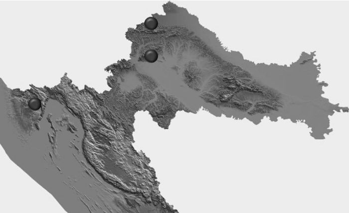
Three pilot areas, representative for areas Podsljemenska zone of the City of Zagreb, Hrvatsko Zagorje and Istria, were selected as characteristic environments in the Republic of Croatia for the implementation of scientific research within the LandSlidePlan project.
Start of project published in the media
The beginning of the LandSlidePlan project was announced in the media with the purpose of informing the scientific and general public, as well as end users and decision makers.
Invited lecturer prof. N. Casagli held a lecture
On January 24, 2020, Professor Nicola Casagli from the University of Florence held a lecture at the Faculty of Mining, Geology and Petroleum Engineering in Zagreb, as part of the opening kick-off meeting of the Croatian Science Foundation’s project LandSlidePlan.
LandSlidePlan project opening
The opening of the LandSlidePlan project was held on January 24, 2020 at the Faculty of Mining, Geology and Petroleum Engineering in Zagreb.


